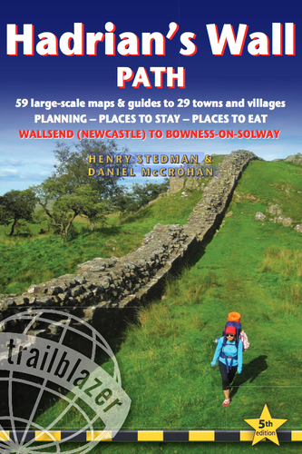
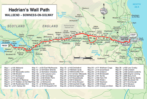
Hadrian's Wall Path: Wallsend to Bowness-on-Solway
Trailblazer
Editorial: Trailblazer
ISBN: 978-1-905864-85-0
Encuadernación: Tapa blanda
Edición: 5
Número de páginas: 244
Tamaño: 12 x 19
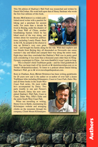
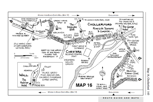
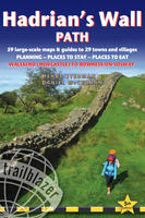
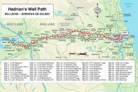
"Hadrians Wall Path, 84 miles (135km) from end to end, follows the course of northern Europes largest surviving Roman monument, a 2nd-century fortification built in the border country between England and Scotland on the orders of the Emperor Hadrian in AD122. Hadrians Wall Path is the first National Trail to follow the course of a UNESCO World Heritage Site. This week-long walk is regarded as one of the least challenging of the National Trails. New 5th edition - as with all our new editions entirely rewalked with all accommodation and each place to eat fully checked. 7 town plans, 12 colour overview maps and 45 large scale walking maps at just under 1:20,000 showing route times, places to stay, points of interest and much more Itineraries for all walkers whether walking the route in its entirety over seven to eight days or sampling the highlights on day walks and short breaks Practical information for all budgets, all updated for the new edition camping, bunkhouses, hostels, B&Bs, pubs and hotels; Newcastle through to Bowness where to stay, where to eat, what to see, plus detailed street plans Comprehensive public transport information for all access points on the Hadrians Wall Path "